Geographical Information Systems (GIS)
Spatial data platforms and mapping solutions.
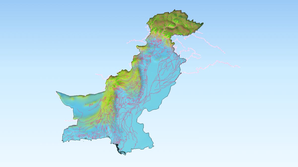
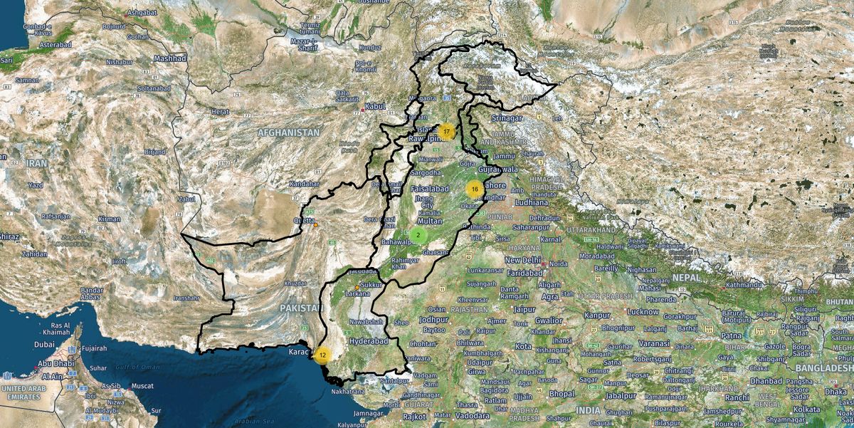
xFlow is conducting GIS research across a range of spatial data domains to support advanced analysis and visualization. Our ongoing work includes:
- Elevation Mapping for terrain and geographic analysis
- Rainfall Data Analysis for weather and environmental insights
- Soil Mapping to support land and infrastructure assessment
- Temperature Data Visualization for climate and regional analysis
- Population Density Mapping for demographic and planning insights
- Land Cover Analysis to understand land usage patterns
- Flight Flow Mapping for visualizing air traffic movement and regional connectivity
These research efforts help build a strong foundation for integrating geographic, environmental, and infrastructure data into telecom and other data-driven applications.